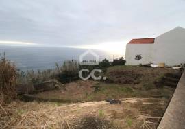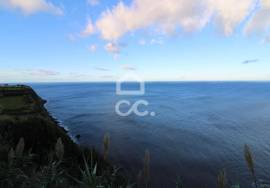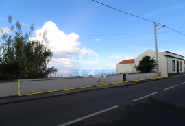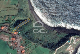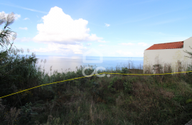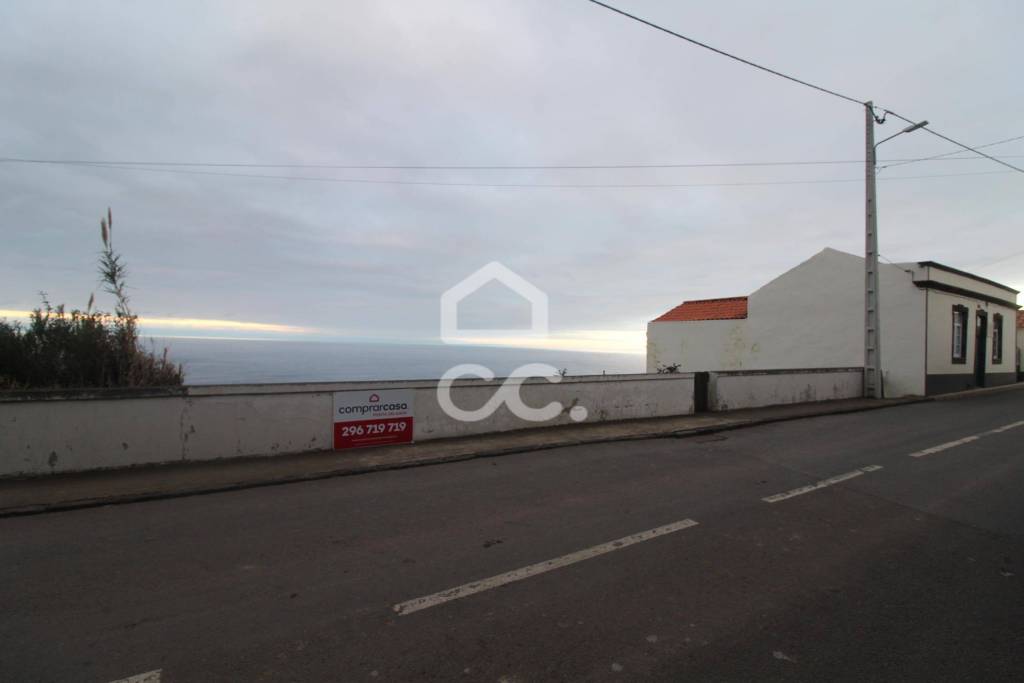
Land with 1,349.00 m2
EUR 54,950
- 1349 mq
Proprietà per
Saldi
Nazione
Portugal
Stato / Regione / Provincia
Azores
Città
Nordeste
Indirizzo
Nordeste
Pubblicato
11/12/2021

Descrizione
Land with 1,349.00m2
Possibility of Access
Central Zone
Proximity of the Arnel Lighthouse
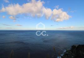
Vista Mar
The Northeast is a village and a municipality Portuguese on the island of São Miguel, Autonomous Region of the Azores, with 101.51 km² of area and 4 937 inhabitants (2011), subdivided into 9 parishes. The municipality is bordered to the south by the municipality of Povoação and to the west by Ribeira Grande and has coast in the Atlantic Ocean to the north and east.
In the Northeast there are many sights such as the Ponta do Sossego Viewpoint, Ponta da Madrugada Viewpoint, Tronqueira Mountain Range, Arnel Lighthouse, Caldeirões Natural Park, among other viewpoints that allow you to see panoramic landscapes to the sea.
The Northeast is well known for its vegetation and beautiful flowers such as hydrangeas or azaleas that adorn the roads of the county.
Here is located the Pico da Vara, the highest point of the island of São Miguel, with about 1100 meters of altitude. Its relief is mountainous in nature, cut by streams that glide through the vegetation. With an approximate extension of 1982 hectares, it incorporates a large amount of endemic vegetation and typical of Macaronesia, as well as a whole set of rare flora and great value. Priolo, the island's endemic bird, finds its habitat here.
Do Pico da Vara, natural viewpoint, from here you can have an impressive panoramic view over much of the island, with emphasis on the Graminhais Plateau, Pico Verde and Serra da Tronqueira, to the south, and the slopes of the Furnas caldera and the serras de Água de Pau and Devassa, to the west.
- REF: 326/T/02972
Finito piedi quadrati
1349 mq
Dimensione del lotto
1349 mq
IMLIX ID
326/T/02972
- 215 Visualizzazioni


